


)
)
)
)


ABOUT
Digital Land Survey Engineering Team
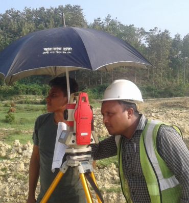
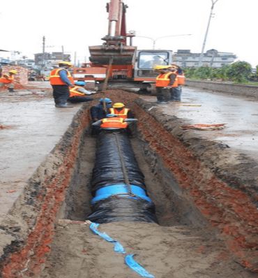
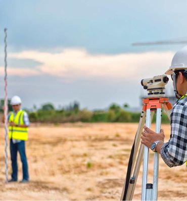
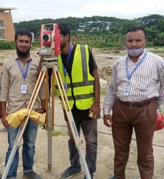
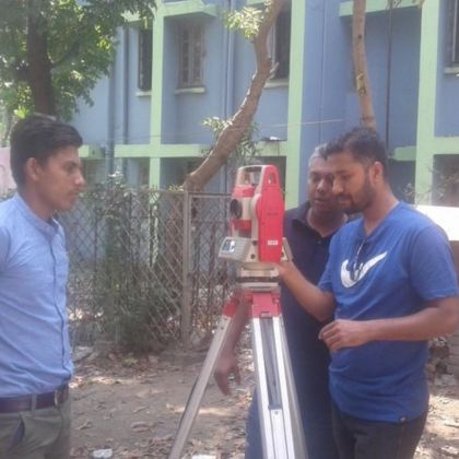
Digital Land Survey Engineering Team is working in the Digital Land survey sector for more than 12 Years. We have conducted a large number of projects in different Government and Private Organizations. We have successfully delivered about 150+ projects since our inception. Today DLSET is the top most popular name in the List of Digital Land Survey Companies in Bangladesh. We have a lot of experience in Topographic Survey, Contour Survey, Layout Survey, and Layout Survey.
100 +
Happy Clients
25 +
Expert Survey Team
150 +
Digital Survey Done
12 +
Years Of Experience

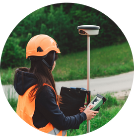
OUR AWESOME SERVICES
provides the best service
for sustainable progress
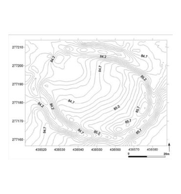
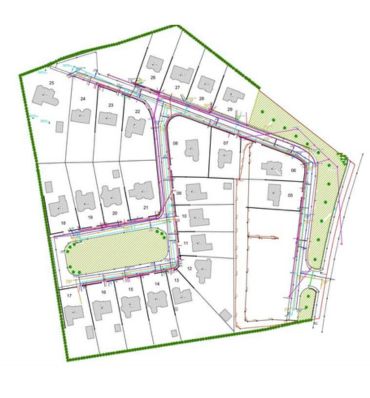
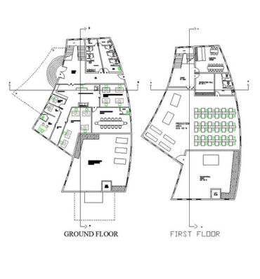
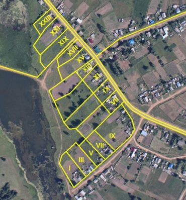
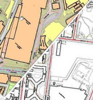
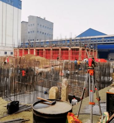

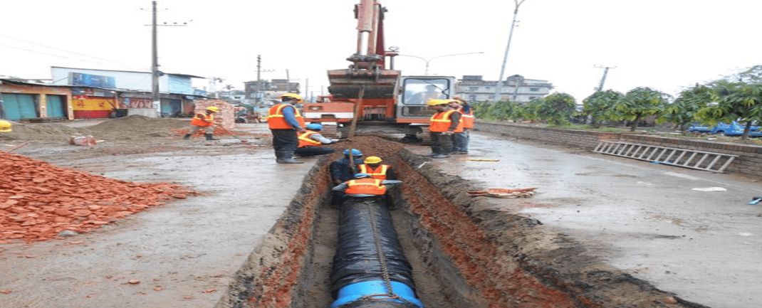
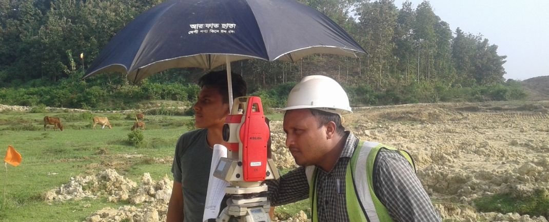
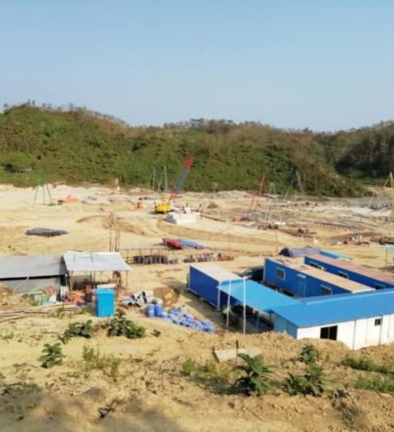
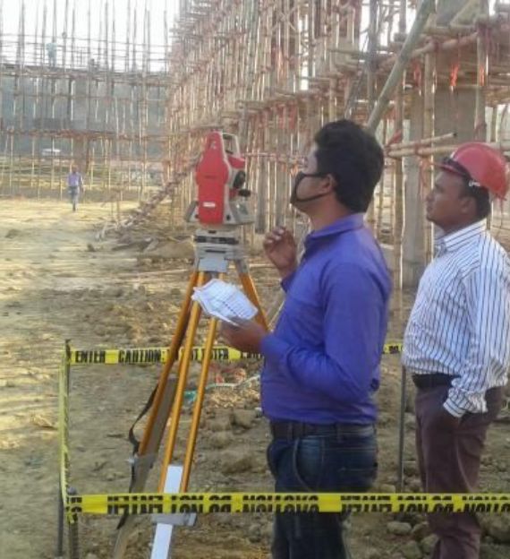
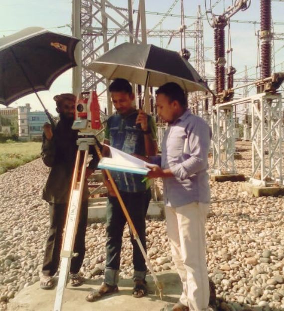
Our Projects
Successfully completed projects for our clients
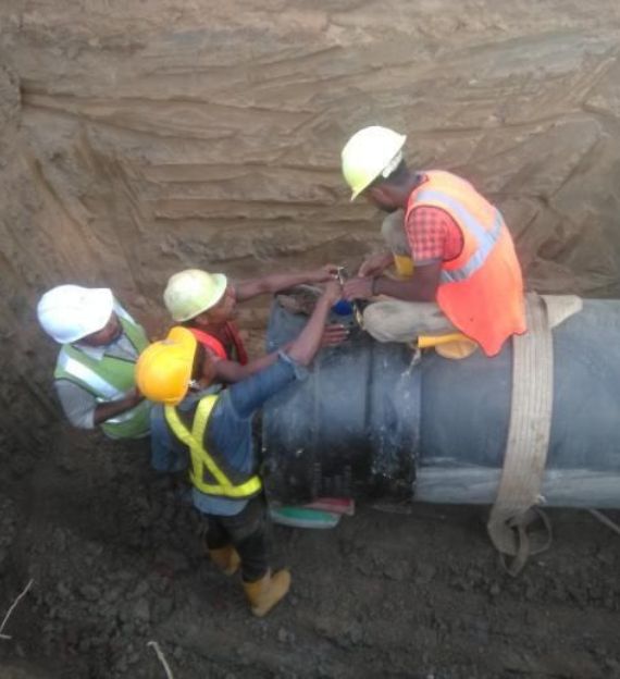
We have facility to produce advance work various industrial applications based on specially surveying technology.


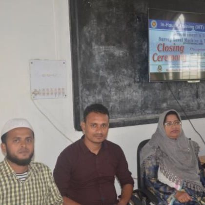
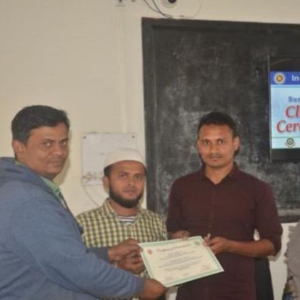
Our Dedicated Training Center
Our Premium Technical Courses

)
)
)
)